
Beschrijving
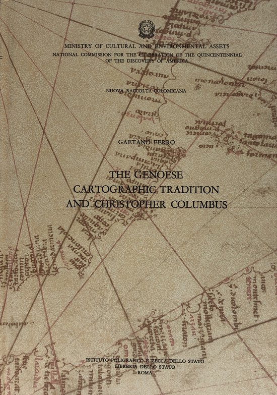
The book explores the rich cartographic heritage of Genoa, placing it in the context of maritime expansion and exploration during the late medieval and early modern era. It traces how Genoese map-makers and navigators developed distinctive charting techniques and portolan charts, contributing to the mapping of the Mediterranean and beyond. The work highlights how this tradition laid the groundwork for more ambitious voyages and more refined geographical knowledge.
It next examines the link between this Genoese cartographic tradition and the voyage of Christopher Columbus, suggesting how the knowledge and navigational practices of the Genoese may have influenced or underpinned his expedition. The author analyses technical aspects such as compass use, chart projection, coastal soundings and inscriptions on early charts, and shows how these map-making innovations intersected with the age of discovery.
Finally, the volume places the Genoese map-making legacy within a broader cultural, economic and scientific framework: it argues that the cartographic work was not purely technical, but embedded in the networks of trade, shipping, politics and knowledge-exchange across the Mediterranean and Atlantic. Through lavish illustrations and fold-out maps it presents the physical artefacts of this tradition and invites the reader to appreciate maps as visual documents that reflect world-views, ambitions and links between communities.


Beoordelingen
Er zijn nog geen beoordelingen.